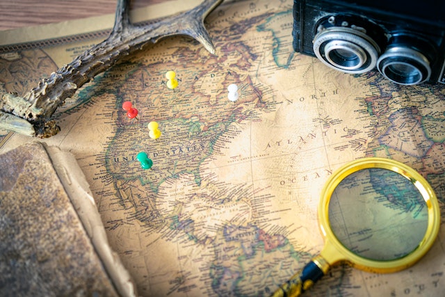
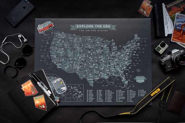
Embarking on a journey across the vast expanse of the United States of America is a captivating experience. However, before you embark on this adventure, you must equip yourself with the key to unlocking the nation’s secrets – the USA map with labels.
This remarkable visual tool is a gateway to discovering the nation’s hidden gems, from towering mountains to meandering water bodies and bustling cities. Thus, with each state and city clearly labeled, the US map becomes an insightful guide when planning a future trip.
Indeed you want to know more about this fascinating USA map with labels and what it entails. This guide provides all details about prominent labels on the map and how to make one. First, let’s have an overview of the map of the United States.
Overview of the USA Map With Labels and Its Outstanding Features
The United States of America is a vast and diverse country located in North America. Covering an extensive area of about 9.8 million square kilometers, the USA comprises 50 states, a federal district (Washington, D.C.), and several territories.
Interestingly, navigators, explorers, and scientists deem the map of the US with cities vital to understanding the country’s geography. The USA map with labels features the following:
- Regions and States: America has several regions, each with distinct characteristics. They include the Northeast, Midwest, South, West, and Northwest.
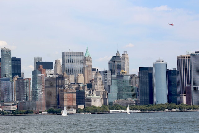
- Major Cities: The map of the US provide an overview of the country’s major cities, which serve as economic, cultural, and political hubs. Many prominent cities are New York City, Los Angeles, Chicago, and Houston. These cities are often associated with specific industries such as finance, entertainment, manufacturing, and technology.
- Rivers and Water Bodies: The US has numerous water bodies which play a crucial role in its geography, transportation, and natural resources. For instance, key rivers like the Mississippi, Missouri, and Columbia are famous for their irrigation and shipping.
- Mountain Ranges: America has several prominent mountain ranges and natural features that shape its landscapes. They include the Rocky Mountains, Sierra Nevada, and Cascade Range. These mountain ranges profoundly impact climate, ecology, and outdoor recreation.
These are some outstanding features that the USA map with labels provides. You can use them in navigating and exploring the country. In the following sections, we will discuss more features, equipping you with more insights into the United States of America.
USA Map With Labels: Understanding the Map of the USA With States Labeled
The map of the USA with states labeled is a fundamental visual tool for understanding the country’s geography and administrative divisions. This USA map with labels provides a clear and concise overview of the 50 states that comprise the country. This enables easy identification and navigation.
The names of each state on the map have bold fonts, making it easy to find and distinguish them. The arrangement of the states is in a logical order, following their geographical location.
Furthermore, the USA map with labels serves as a visual reference for understanding the country’s administrative divisions. Each state has its capital city, and the labeled map indicates the capital of each state. This information allows us to comprehend the governmental structure and administration of the country.
Overall, this map highlights the diversity of the country’s landscapes and topography. From the coastal plains of Florida to the rugged mountains of Colorado, the map highlights the wide range of the country’s natural environments.
Consequently, whether for educational purposes or trip planning, the map of the US with labels is an essential tool for exploring and appreciating America.
Overview of the Map of the USA With States and Cities Labeled
The map of the USA with states and cities labeled is another valuable visual tool. It provides a comprehensive insight into the country’s administrative divisions and major urban centers. In addition to the states, the USA map with labels includes the names of major cities throughout the country. These cities serve as economic, cultural, and political centers, significantly shaping the nation’s identity.
Prominent cities like New York City, Los Angeles, Chicago, Philadelphia, and Houston, are identified on the map, providing a snapshot of the country’s urban landscape. By featuring cities on the US map with labels, individuals can gain insights into the regional distribution of metropolitan areas across the country. Consequently, representing the concentration of cities along coastlines can highlight the country’s population density and urbanization patterns.
Furthermore, the labeled map of the USA with cities aids in understanding the interconnectedness of urban centers and their significance in various industries. It allows individuals to visualize vital economic hubs, such as New York City’s dominance in finance. It also helps us appreciate Los Angeles’ influence in the entertainment industry and Silicon Valley’s technological innovation in the San Francisco Bay Area.
Lastly, the USA map with labels of states and cities can be a valuable tool for travel planning and navigation. Individuals can quickly identify their destinations and plan routes with correctly labeled cities. Thus, the cities provide a reference point for understanding the proximity of various urban areas and facilitate efficient travel between them.
An Overview of the Map of the USA With Bodies of Water Labeled
Another feature to consider on the USA map with labels is the bodies of water surrounding the country. The map of the USA with bodies of water labeled is a crucial visual tool for understanding the nation’s hydrology and significant water resources. This map provides a comprehensive overview of the various rivers, lakes, and oceans surrounding the country’s landscape and influencing its ecosystems.
The USA map with labels showcases several prominent inland and coastal water bodies. It labels the Great Lakes, including Lake Superior, Lake Michigan, Lake Huron, Lake Erie, and Lake Ontario. These massive freshwater lakes are vital natural resources. They serve as a water supply for nearby communities, supporting diverse ecosystems and offering recreational activities like boating, fishing, and swimming.
Moreover, this map includes the Atlantic Ocean on the East Coast, the Pacific Ocean on the West Coast, and the Gulf of Mexico in the southern part of the country. These coastal water bodies play a pivotal role in the country’s economy. They serve as gateways for international trade, support marine life and fisheries, and attract tourists to coastal areas.
Finally, the representation of water bodies on the US map with labels helps us understand the hydrological connections between regions. It shows how rivers flow through multiple states, connecting inland areas to the coastal regions.
USA Map With Labels: Understanding the US Map With Labeled Rivers and Mountains
The USA map with labeled rivers and mountains provides a comprehensive understanding of the country’s major rivers and mountain ranges. The USA map with labels of rivers highlights several significant rivers that crisscross the nation, like the Mississippi, Missouri, Colorado, Columbia, and Rio Grande. Thus, it demonstrates their vast reach and importance to the country’s water resources and transportation systems.
Furthermore, this map highlights the country’s prominent mountain ranges. The Rocky Mountains, Appalachians, Sierra Nevada, Cascade Range, and the Alaska Range are among the major mountain ranges labeled on the map.
These mountain systems have shaped the nation’s topography and influenced various aspects of its climate, flora, fauna, and human settlement patterns. Thus, this USA map with labels of mountains can help individuals visualize the geographical distribution of these mountain ranges across the US.
Also, it provides a better understanding of the challenges and opportunities of the mountains and rivers. This includes their impact on weather patterns, water resources, and recreational activities like hiking, skiing, and mountaineering.

How To Make the USA Maps With Labels
Now that we have checked out the significant features of a map of US with labels, creating one can be fun and educational. It can even go a long way in satisfying your curiosity about the United States geography. Thus, let’s discuss the step-by-step process of making your USA map with labels.
- Find a printable map of the US that includes state boundaries online. If you prefer a hands-on approach, you can outline the United States on a large piece of paper.
- Gather reference materials, such as an atlas or online resources, to ensure the accuracy of your labels. Access to a list of the US states, their capitals, major cities, water bodies, and mountains is beneficial during the labeling process.
- Label the states and major cities. Use a pencil to write each state’s name within its boundaries lightly. Then use a marker to make the label more visible. Then, identify and label the major cities throughout the US. Use a smaller font size or a different marker to differentiate city and state labels.
- Label water bodies. Draw and label the major water bodies on the map by using a blue colored marker.
- Label mountain ranges. Using a brown colored pencil, draw and label the major mountain ranges on the map.
- Include extra labels. Depending on your level of interest, you can add labels for national parks, landmarks, and other geographic features.
- Once you are through labeling major features on the map, review it for accuracy and legibility. Make any adjustments or corrections to improve the labels’ clarity.
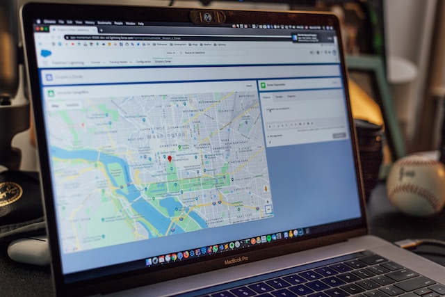
Mapize Is Your Go-to Platform for the Ultimate Mapping Experience
Considering the USA map with labels, you’d realize that the adventure has only just started. It has undoubtedly kindled a burning desire to witness the wonders of the United States firsthand. This includes its mountains, rivers, as well as vibrant cities across the country.
However, if you want to step up your mapping to a new level, Mapize is the right platform for you. Mapize is an innovative platform that breathes life into your USA maps with labels. With its interactive features and advanced technology, Mapize invites you to dive deeper into your discovered landscapes. It further enables you to uncover hidden gems, plan your routes, and embark on unforgettable journeys. Furthermore, Mapize allows you to create interactive maps, mark your favorite spots on them and share them with others. With Mapize as your trusty companion, you can enjoy immersive exploration with limitless possibilities. Try Mapize for free today and create your first custom maps.