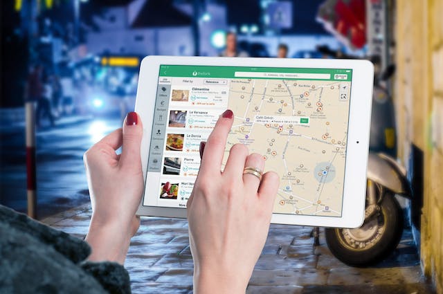
Maps have become a lot more sophisticated since their inception. In real-time, you can find places and show weather, terrain, temperature, and much more. Thanks to geospatial data, maps have become indispensable tools, offering all kinds of information that wasn’t possible before.
If you’re just stepping into the world of maps, knowing more about the data powering these tools is essential. This article is what you’re looking for, as it covers this topic comprehensively by explaining several key concepts.
What Is Geospatial Data?
Apps like Google Maps and Apple Maps are some of the best examples of this type of data in action. But what is geospatial data, and why do mapping tools rely on them so much? In simple terms, it is information describing natural and human-made features in relation to Earth.
It combines information from multiple sources like the object’s location, characteristics, and temporal data. For example, you open Google Maps and look for the closest supermarket. It uses the above datasets to provide accurate directions to your desired location.
Like the above example, the object’s location doesn’t have to be static. It also works when the object’s location is dynamic, like Google Maps tracking your car’s real-time movement.
Almost every industry imaginable relies on geographical data in one way or another. For instance, Uber, a cab-service aggregator, uses this information to show the movement of vehicles to its customers. Similarly, the drivers also rely on this data to know their customer’s pickup and drop location.
You can collect geographical information using the following tools:
- Drones – Drones are invaluable because of what they have to offer. You can take aerial images and videos to create high-quality 3D models. It can analyze various regions to get a lay of the land.
- Global positioning system (GPS) – GPS improves the accuracy of your location data and helps you track geographical information in real-time.
- Geographic Information Systems (GIS) – You need a GIS to collect and analyze spatial information.
What Makes Geospatial Data Unique?
As there are so many datasets, what makes geospatial data unique? For starters, it uses space and time to convey information. Anyone can understand this easily, which is why it is unique. For instance, someone asks you to meet them at Starbucks, Park Row, New York, at 4 p.m. You know where this location is and when to meet them.
What Are the Different Types of Geospatial Data?
There are two types of geospatial data, as highlighted below:
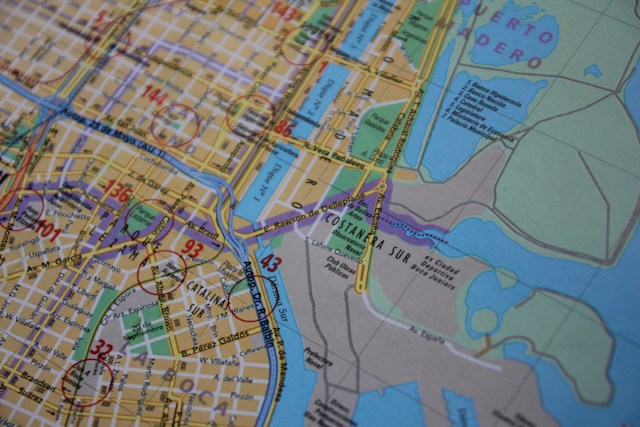
- Vector Data – Vector data portrays geographic information like mountains, roads, and cities with points, lines, and polygons.
- Points – Points refer to a dot on a map with no dimensions, like schools and cities.
- Lines – Lines represent geographic features like rivers, roads, and railway lines. Essentially, any feature that is one dimensional, i.e., has length. Usually, to represent various features, cartographers use colors or solid and dashed lines.
- Polygons – Polygons have two dimensions. They are for geographic properties like lakes, forests, and cities. Sometimes, cartographers use patterns or colors to differentiate these features. You can get the area of the property with polygons.
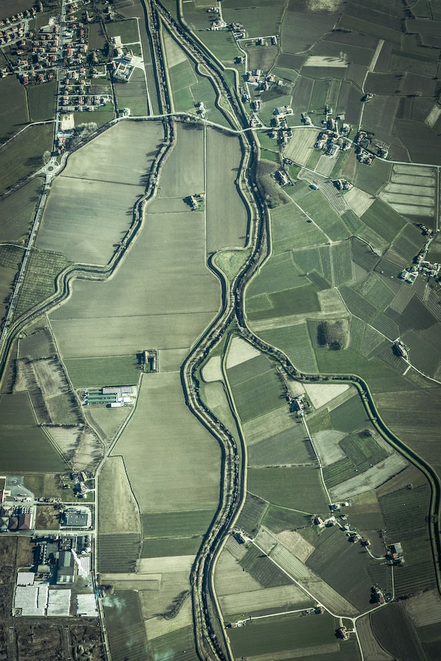
- Raster Data – Raster data represents geographic information like land cover type, elevation, and temperature via cells or pixels. It divides the space into multiple cells or pixels of the same size. These geospatial data samples also require an image of the map, which it gets from digital, aerial, and satellite imagery. Cartographers also rely on map scans for raster data.
Generally, cartographers use vector data to illustrate geographic properties with distinct boundaries. Also, as they are high-quality datasets, clarity is maintained when manipulating their shape and size. However, this isn’t the case for raster data, which doesn’t scale as well.
What Does Geospatial Data Analysis Mean?
As you keep digging into this niche, you’ll come across the following term – geospatial data analysis. It refers to acquiring and visualizing geographic information to find trends and patterns in your datasets.
Let’s say you record all the geographic datasets in a spreadsheet. How will you go through these geospatial datasets and make sense of the information? If you only look at the numbers, you may not even recognize a trend or a pattern.
By segmenting and visualizing the information, you can see what your data means in the real world. It is a way to make your data effective by categorizing it for space and time. You can understand the relation between your data and the points of interest, which gives you context.
Visualizing your data helps you see what is going on and its magnitude. The more information you collect and analyze, the easier it becomes to notice the most minor changes.
Geospatial Data Examples: 5 Common Use Cases
When you analyze geographic information, what can you learn? Given below are five common geospatial data examples:
1. Geospatial Information Helps With Urban Planning
How does the government in your region know where to build roads or provide multiple modes of public transport? The answer is spatial information, which gives them all the data they need to make the right decisions.
Spatial information can show the government when people leave their houses and what routes they take. The council notices there is significant congestion in certain areas as people go to work at the same time. In this case, they can think of solutions to alleviate this problem. For example, they can create new routes to reduce congestion and travel times.
Similarly, with this data type, they can decide where to build critical infrastructure like hospitals and fire stations.
2. Use Geographical Data To Learn About Your Customers
The value these datasets provide businesses is immense. If you want to set up a store, you can use this data to pick the best location. For example, how long will it take for them to transport supplies to the new shop from their warehouse? Are there any competitors nearby, and what’s the foot traffic in the potential location? How accessible is your store via public and private transportation? What is the crime rate in the region? These are some of the questions that spatial information can answer.
Similarly, businesses can learn a lot by analyzing these datasets after they set up their store. Is the presence of another nearby outlet competing for the same customers? Are people going to your competitor because of ample parking space?
It also shows you the income range of the people living close by. This helps you determine whether they can afford your products and services.
3. Improve Efficiency of Healthcare Services
Infectious diseases can wreak havoc on a region’s population if left unchecked. This is why governments need to ensure adequate healthcare services when necessary. With geographical information, they’ll know the availability of healthcare resources. For instance, they can check the number of hospital beds in infected regions.
If some clinics can’t handle the sudden influx of patients, the government can direct people towards other centers.
4. Track Weather Conditions To Reduce the Damage of Natural Disasters
Monitoring weather conditions can help agencies know when there’s a risk of a natural disaster. For instance, they can track dry conditions to determine how likely a wildfire will start in a specific region. When disaster strikes, the emergency responders can plan where to move the public to keep them safe.
Or, they can identify which regions need immediate assistance and divert their resources accordingly. This reduces the response time, ensuring people get the necessary help when required.
5. Geospatial Information Can Help Analyze Risk
Insurance companies use these geospatial data applications to understand risk in different regions. For instance, a business wants to set up an outlet in a mall. With spatial information, insurance companies can determine the vulnerability of the building to disasters, human or otherwise. If there’s an accident, will the mall’s proximity to other structures significantly increase risk?
They can look at foot traffic to see how many people visit the location daily. Along with information about what the business sells, they will get a complete picture of the total risk.

Why Is Geospatial Data Integration Challenging?
As highlighted above, spatial information can help everyone in different ways. However, this doesn’t mean it is easy to integrate this data. If you don’t incorporate it properly, it will cause more problems than solve them. Also, you may make the wrong decisions, which will only worsen matters. What makes spatial data integration challenging? Below are three reasons highlighting the significant obstacles to using these datasets properly.
1. Not Enough Employees Have the Necessary Technical Knowledge
To go through and analyze geospatial information, you need people who understand the subject matter extensively. Given how technical this field is, there’s always the risk that the business may not have the right people.
The lack of skills will affect the implementation of the right solutions. In this situation, you’ll have to bridge the knowledge gap, which isn’t an easy process. Not only do you need to look for the talent, but also ensure they have the necessary skills. This takes time, and not every company has the luxury to wait.
2. Data Collection and Management Is Not an Easy Task
When you start collecting geographical data, the volume of information is significant. However, all data isn’t equal. This means you need to ensure you have the correct information. If you feed your tools insufficient data, the results will be the same quality. As a result, the models may be inaccurate, which won’t be helpful.
Similarly, you need to manage the data after you collect it. In other words, you must clean the information to make it reliable and accurate. Even if you have an in-house team, they’ll spend significant time on this activity.
If data cleaning takes up most of their time and effort, how will they analyze the information to recognize trends? You need to have the right processes in place to ensure this isn’t a problem. Again, this requires a team with the technical knowledge to create one for you.
3. Standardization Is Crucial to Success
Without the necessary standards, dealing with large volumes of geographical data becomes even more challenging. For instance, you’re collecting information from different regions, and the datasets contain measurements in metric and imperial units. You need to sift through the data and convert everything to a specific unit of measurement.
Maintaining consistency in physical addresses can also take time and effort. People tend to provide this information in different formats, so how will you make it uniform? Two addresses can be the same, but one can use abbreviations while the other doesn’t. The tools you use may assume the two are different, which will cause inaccuracies in your results.
At the same time, you need to make sure people follow the standards you set. There are ways to ensure this won’t be an issue. For instance, you can make it a habit to avoid changing the IDs of the datasets as much as possible. You should choose the proper format and ensure the datasets are uniform. Also, it should be applicable in as many situations as possible.

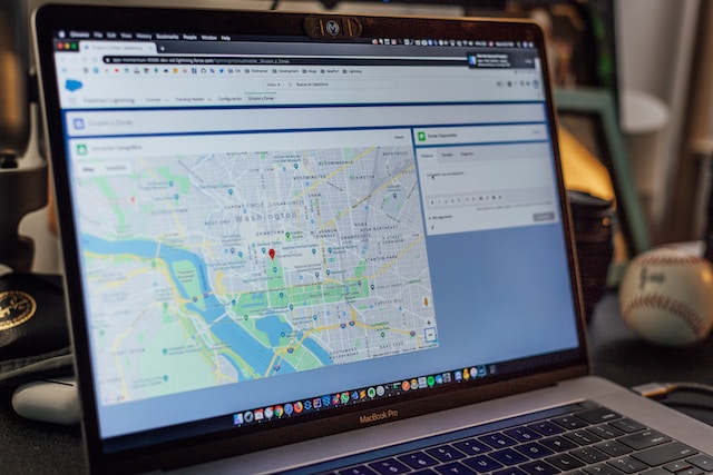
Mapize Can Help You Convert Geospatial Data Into Visually Stunning Maps
To understand the story your geographical datasets are trying to tell, you need to know how to visualize them. You won’t find trends if you look at the raw figures. Also, you’ll need the necessary technical knowledge to convert your datasets into maps.
Fortunately, you’ll never have to worry about this being an issue with Mapize. With this tool, you can convert all your datasets into visually stunning maps like a professional cartographer. You don’t need to know about data mapping inside out to use our software. It comes with an easy-to-use interface, so you feel comfortable using it, regardless of your technical knowledge.
You can easily create a map with a simple spreadsheet containing all the geospatial data. You don’t have to stop here; you can customize it to ensure it meets your requirements. Do you want to filter out specific information to improve the readability of your map? This is extremely simple with this software. You can group various datasets to discover new insights to help you make the right decision.
Mapize makes it a straightforward process to create interactive custom maps from scratch. Join Mapize for free today to transform your data and tell a compelling story your audience will love!