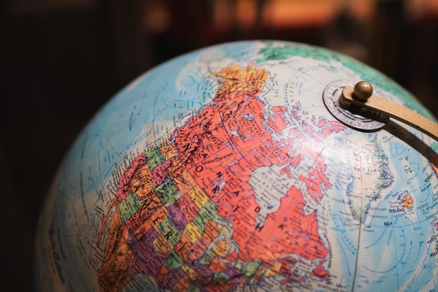
A world map is an intricate tool that shows the seven continents where we live. The North American continent is home to two neighboring countries: the United States and Canada. These countries teem with natural beauty, iconic landmarks, and cultural diversity. As we delve into US and Canada maps, we’ll discover the geographical wonders, borders, states, and cities that define these nations.
If you are a North American resident, the continent’s vastness likely intrigues you, spurring you to travel to different states and locations. If you are not, this guide discusses the US and Canada map, spanning from the Artic North to the sun-kissed South coastlines. Undoubtedly, at the end of this guide, you will understand the interconnectedness of these two states – the United States and Canada.
Examining the Geography of the North American Map: An Overview of the US and Canada Map
When examining a map of North America, you’ll notice that the United States lies southwards of Canada and shares borders with several states, including Alaska. Without further ado, let’s explore each country’s geography further to enjoy insights into the US and Canada map.
Studying the United States Geography on the US and Canada Map
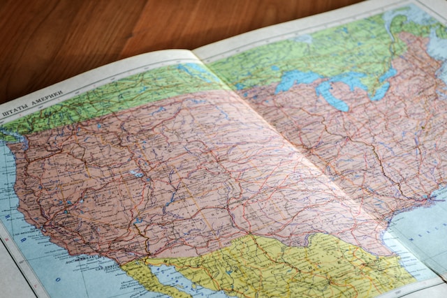
According to the map of the United States with Cities, the country comprises 50 states. Interestingly, some of the states of the US came into existence during the Westward expansion era. In this era, early pioneers migrated westward based on a belief, Manifest Destiny, to subdue the lands and own its resources.
As we peer further into the US and Canada map, the geography of the United States is remarkably diverse, boasting a wide range of physical features. Starting from the eastern region, the Appalachian Mountains stretch along the country’s seaboard, extending from the state of Maine down to Northern Alabama.
Moving westward, the interior of the United States consists of a vast plain – the Great Plains. Flat terrain, fertile soils, and agricultural activities characterize this region. Moving toward the west coast, California, Oregon, and Washington are famous for their Pacific coastline. It features rugged cliffs, sandy beaches, and thriving marine ecosystems.
In the southwestern part of the United States, the desert landscapes of Arizona, New Mexico, and Nevada dominate the scenery. It boasts iconic features like the Sonoran Desert and the Mojave Desert.
The United States also has several prominent river systems, including the Mississippi-Missouri River, the longest river in North America. This river runs from Minnesota to the Gulf of Mexico on the US and Canada map. Other significant rivers include the Colorado, Columbia, and Rio Grande.
Exploring the Geography of Canada in the US and Canada Map
Canada, on the other hand, is the second-largest country in the world by land area. It stretches from the Atlantic Ocean in the east to the Pacific Ocean in the west. The Arctic Ocean borders it to the North. Canada comprises ten provinces and three territories, each with unique landscapes and cultural heritage.
Starting from the east, we have the Atlantic provinces of Canada, which include Newfoundland and Labrador, Prince Edward Island, Nova Scotia, and New Brunswick. They have rugged coastlines, fishing villages, and fertile farmlands.
Moving westward in the US and Canada map, the Canadian Shield covers a significant portion of eastern and central Canada. This ancient geological formation consists of bedrock and encompasses vast forests, thousands of lakes, and rivers.
The St. Lawrence Lowlands, located in southeastern Quebec and eastern Ontario, has fertile farmland and dense urban centers, including Montreal and Toronto. The region is popular for its vibrant cultural scene and bustling cities.
In the northernmost regions of Canada lies the Arctic Archipelago and the tundra landscapes of the Canadian Arctic. These remote areas have frozen landscapes, polar ice caps, and unique wildlife, including polar bears and Arctic foxes.
Canada is also home to several significant rivers, including the Mackenzie River, the longest river in Canada. The St. Lawrence River is also visible on US and Canada maps as it connects the Great Lakes to the Atlantic Ocean.
Other Features of the USA and Canada Map
As we explore the US and Canada map, we discover that both countries have an extensive transportation network. This includes highways, railways, and airports, connecting various regions and facilitating travel and trade. These transportation routes are on the US and Canada maps, allowing for a better understanding of the connectivity between different parts of the country.
Regarding national parks and landmarks, the US and Canada boast several renowned destinations. The US has iconic landmarks like the Grand Canyon, Yellowstone National Park, the Statue of Liberty, and the Golden Gate Bridge.
On the other hand, Canada features stunning natural wonders such as Banff National Park, Niagara Falls, Jasper National Park, and the CN Tower in Toronto. With these features in mind, tourists can efficiently plan their future trips and have a fantastic experience visiting these countries.
Unravelling the Mystery of the Map of the US and Canada Border
We have much to explore as we delve into the US and Canada map. From the high mountain ranges, rivers and picturesque lakes, and oceans surrounding this continent. Interestingly, the US and Canada border map has fascinated millions, and many agree that it is more than just a line on paper.
In the US and Canada map, the two nations share the longest international border, spanning over 5,500 miles or (8,891 kilometers). This border has various features, such as lakes, rivers, and mountain ranges. One prominent feature is the Great Lakes, which form a significant part of the border between the two countries.
The US-Canada border is famous for its significance of peace and friendliness between the countries. It is a vital link between the two nations. The border facilitates trade, tourism, and cultural exchanges. It also presents unique challenges and opportunities for law enforcement agencies to act on.
Understanding the Map of the US and Canada With States
The map of the US and Canada with states presents a fascinating glimpse into the geographical tapestry of North America. The US and Canada maps reveal a patchwork of 50 states in the United States, each contributing its unique identity to the nation. From the towering skyscrapers of New York to the sun-kissed beaches of California, the map showcases the diverse landscapes and cultures that span the continent.
The United States map showcases iconic states such as California, home to the entertainment industry, and stunning national parks like Yosemite. Florida entices with its vibrant beaches and theme parks, while Texas captivates with its vast landscapes and rich cowboy culture. Each state has a distinct charm, drawing visitors with its attractions, cuisine, and cultural heritage.
In Canada, the US and Canada map shares a different story. Canada comprises ten provinces and three territories, highlighting the vastness of this northern nation. From British Columbia’s coastlines to the Canadian Rockies’ rugged beauty, the map invites exploration of the country’s breathtaking landscapes and thriving cities.
The provinces and territories on the map each possess their allure in Canada. Ontario, the most populous province, boasts the vibrant city of Toronto and the awe-inspiring Niagara Falls. Quebec showcases its French heritage and enchanting cities like Montreal and Quebec City. British Columbia enthralls with its breathtaking Pacific coastline and the vibrant city of Vancouver.
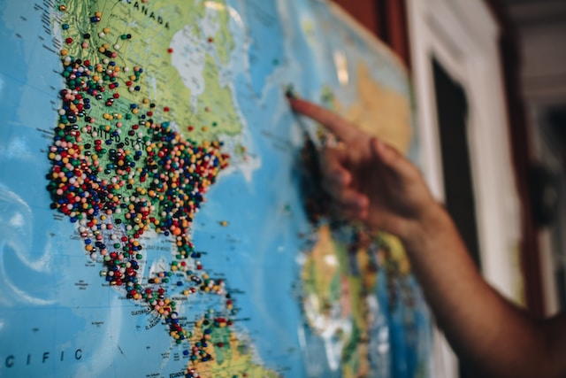
Overall, the US and Canada map serves as a valuable navigation tool. They allow travelers to plan their journeys, understand the administrative divisions, and explore each state or province’s unique attractions. From historical landmarks to natural wonders, this map guides the way.
Easy Steps To Creating the Map of USA and Canada With States and Cities
Indeed, you are in awe of the breathtaking landscapes the US and Canada provide. Creating a map of the USA and Canada with states and cities can be rewarding and educative. Here are six easy steps to create a US and Canada map with states and cities.
- Gather The Necessary Materials: Start by acquiring a large piece of paper or a digital canvas where you will create your map. If using paper, ensure you have markers, colored pencils, or paints. If opting for a digital map, choose graphic design software or an online map-making tool.
- Outline The countries: Begin by drawing or digitally tracing the borders of the United States and Canada. You can reference online resources to ensure accuracy. Outline the coastlines and significant lakes in the two countries.
- Divide The Regions: Identify the states in the USA and the provinces in Canada. Draw or create distinct borders for each state and province using a reference map.
- Add Cities: Research and identify the major cities within each state and province. Start by placing the capital cities, which are usually the most significant. Then, add other prominent cities. Consider using different markers or symbols to distinguish between capital cities and others.
- Label The Map: Properly label your map by including the names of the states, provinces, and major cities on the map. Use clear and legible text and include a map legend for viewers to identify and locate specific regions easily.
- Finalize and Refine: Take a step back and review your map. Check for errors and ensure the borders, states, provinces, and cities are accurate and clear on the US and Canada maps.
Explore the US and Canada Map Further and Create Interactive Maps via Mapize
The US and Canada maps with their states and cities offer a captivating glimpse into North America’s vast and diverse landscapes. They are essential for understanding these two countries’ geographical tapestry and cultural riches.
One can utilize innovative mapping platforms like Mapize to explore and interact with the US and Canada maps. Mapize provides a user-friendly interface, allowing users to create, customize, and share their interactive maps. With the ability to overlay data and highlight specific regions, Mapize enables a deeper understanding of the intricate details of maps. By utilizing Mapize, users can unlock the potential of different maps, transforming them into dynamic and interactive visualizations. Endeavor to join Mapize today and create your first interactive map for free.